Magnificent atlases 2 – Leap into the 18th century
Over 2250 digitized maps and city plans from atlases from the 16th to 18th centuries are waiting to be georeferenced.
![Hamburgum celeberrima libera Imperii et Hanseatica civitas ac opulentissimum Emporium […], aus [Atlas factice …], [nach 1759], S. 383. ZB Zürich, Atl 1293.](https://www.zb.uzh.ch/storage/app/media/uploaded-files/Prachtsatlanten_Bild1.jpg)
For interested volunteers, 2256 different maps and plans of towns and fortifications from three centuries are available for geographical localization. Matching points on old and present-day maps are identified online. The old maps are automatically rectified. Now they can be more easier compared with other map material on the Old Maps Online visualisation platform. To display all georeferenced maps of the ZB Zürich, select ‘Zurich Central Library’ under ‘Facilities’ in the advanced search.
Following last year's successful georeferencing project “Prachtsatlanten”, the new participatory project spans the period from the 16th to the 18th century. The digitized maps are available alongside the complete atlases in the “Prachtsatlanten” collection on the e-rara platform.
The project is part of the Zurich Central Library's strategic focus on Citizen Science.
Introduction
Geographically locating a map with “Georeferencer” on the Old Maps Online web platform was intuitive and usually required no prior specialist knowledge. Volunteers compared an old map with a modern map and marked points that they could identify on both: Depending on the scale of the map, suitable points include settlements, striking details of coastlines, islands, the mouths of watercourses and outlets from lakes.
In addition to a short video tutorial, you will find instructions on the most important steps. On the web platform you will also find an overview of all georeferenced maps from the ZB holdings.
Abundance and increasing accuracy
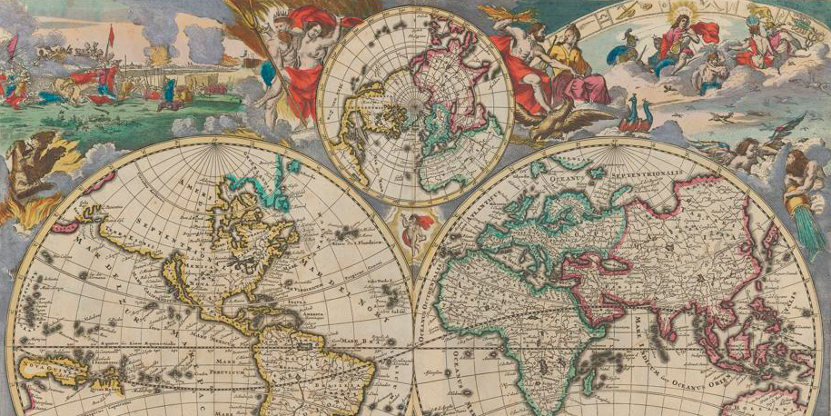
The map material was characterized by a surprising diversity: On the one hand, there were richly decorated, magnificently colored maps from large-format atlases. On the other hand, there were simpler maps that became increasingly accurate in the 18th century. The less representative use of the maps, for example as school atlases, and the smaller format of the volumes replaced elaborate map decoration. The space depicted was also varied: from world maps and maps of dominions to city and fortification plans, there was a wealth of material to suit every taste.
Two of the most magnificent atlases were unique: these “Atlas factices” combined maps, plans and illustrations that were bound together at the request of previous owners.
![Novissima et Accuratissima Totius Angliae, Scotiae et Hiberniae Tabula, Aus Atlas, [1707 oder 1708?], S. 260. Zentralbibliothek Zürich Atl 101.](https://www.zb.uzh.ch/storage/app/media/uploaded-files/Prachtsatlanten_Bild2.jpg)
Tricky puzzles needed to be cracked and difficult cases solved: In addition to the still rather imprecise maps of the 16th century, these included impressive plans of imposing city fortifications from the 17th and 18th centuries.
![Plan du Project de Fortification Sur la Ville de Maastrick […], aus [Atlas factice …], [nach 1759], S. 153. ZB Zürich, Atl 1293.](https://www.zb.uzh.ch/storage/app/media/uploaded-files/Prachtsatlanten_Bild3.jpg)
Ranking
Event
On 21 November 2024 we celebrated the end of the project «Magnificent atlases 2 – Leap into the 18th century». Many thanks to all those who took part!

Contact
Do you have any questions or comments about the project? Get in touch! We’re happy to help.
Maps and panoramas